
The short answer
Yes. Palm Coast's saltwater canals connect to the Intracoastal Waterway, and from there you reach the ocean at St. Augustine Inlet, about 27 miles north, or Ponce de Leon Inlet, about 37 miles south. Matanzas Inlet is much closer, about 9 miles north, but it has a shifting bar, breakers across the entrance and a 10-foot bridge, so it isn't a practical route for most boats. If you own a sailboat or a tall boat, look at the Sailboat Country canals, which reach the Intracoastal with no bridges.
The three inlets from Palm Coast (Intracoastal mile 803)
| Topic | Matanzas Inlet | St. Augustine Inlet | Ponce de Leon Inlet |
|---|---|---|---|
| Direction and distance | North, about 9 statute miles | North, about 26 to 27 statute miles | South, about 37 statute miles |
| Conditions | Shifting bar, breakers across the entrance; not recommended | Shifting shoals; local knowledge advised | Jetties, Coast Guard station, strong currents |
| Bridges on the way | A1A bridge over the inlet: 10 ft | Crescent Beach drawbridge (25 ft closed) and the Bridge of Lions (18 ft closed, scheduled openings); fixed bridges 65 ft | Highbridge Road (15 ft) and Main Street (22 ft) drawbridges; fixed bridges 63 to 65 ft |
Market numbers: Stellar MLS; they refresh live when you open this page. Single-family homes, condos and townhomes.
Palm Coast's saltwater canals
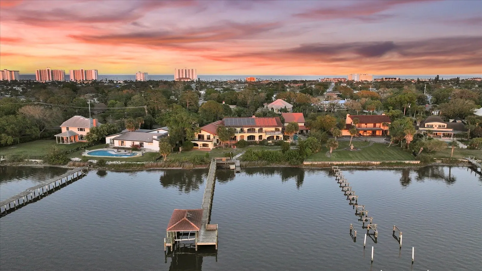
The city maintains about 26 miles of saltwater canals, mostly in the C and F Sections around Palm Harbor, and they connect to the Intracoastal near Palm Coast Marina at mile 803. (The 58 miles of freshwater canals elsewhere in Palm Coast are for drainage and don't reach the ocean.) A few canal sections pass under low bridges inside the system, while the canals known as Sailboat Country reach the Intracoastal with no bridges at all, which is why those homes command a premium. Before you buy, measure your boat's height against the bridge on that canal at high tide.
Canal depth is the other question. A city study found about half of the canals under 6 feet deep at the center, and the city has started designing a dredging project without a funding decision yet. My post on what a Palm Coast canal home really costs covers dredging, seawalls and insurance.
Heading north to St. Augustine
From the Hammock Dunes Bridge (65 feet, fixed) it's about 27 statute miles north to St. Augustine Inlet. On the way you pass the Crescent Beach drawbridge and the Bridge of Lions in St. Augustine, which has 18 feet of clearance closed and opens on the hour and half hour during the day, except at 8 a.m., noon and 5 p.m. on weekdays. NOAA describes the inlet as changing often, with shifting shoals extending a mile offshore and buoys that are moved frequently, so local knowledge helps.
Heading south to Ponce Inlet
South to Ponce de Leon Inlet is about 37 statute miles, past Flagler Beach, Ormond Beach and Daytona. Every fixed bridge on the route is 65 feet except Broadway in Daytona at 63 feet, and two drawbridges (Highbridge Road and Main Street) open for taller boats. Ponce Inlet has jetties and a Coast Guard station, but its ebb current averages 3 knots and can reach 5 to 6 knots with a southeast wind.
Ramps, fuel and manatees
Without a dock, use Flagler County's ramps: Bings Landing on A1A, Herschel King Park next to Grand Haven, and Moody Boat Launch in Flagler Beach. Palm Coast Marina sells gas and diesel and calls itself the only fuel stop between Daytona and St. Augustine. Flagler County has state manatee speed zones along the Intracoastal, including near Lehigh Canal, so watch the signs.

My take
For a boater, the right canal matters more than the house. I show canal homes with a boat's height, beam and draft in mind, and I'll tell you which canals are bridge-free, which are shallow and how long a run you're looking at to each inlet. Tell me what you run and I'll narrow the search to homes that work for it.
David Stanley, Broker Associate, CENTURY 21 Fine Homes & Estates Realty Exchange. 23 years in North Florida, over $60 million in closed sales.
See for yourself:Palm Coast waterfront homesPalm Harbor homes
More questions people ask
Do Palm Coast canals lead to the ocean?
What is the closest ocean inlet to Palm Coast?
What is Sailboat Country in Palm Coast?
What are the bridge clearances between Palm Coast and the ocean?
Where are the public boat ramps near Palm Coast?
Sources
- NOAA U.S. Coast Pilot 4, Chapter 12 (Intracoastal Waterway)
- NOAA U.S. Coast Pilot 4, Chapter 10 (inlets)
- NOAA U.S. Coast Pilot 4, Chapter 2 (drawbridge regulations)
- City of Palm Coast: 2035 Comprehensive Plan, Infrastructure Element
- City of Palm Coast: canals
- Palm Coast Marina
- Flagler County: Bings Landing
- Flagler County: Herschel King Park
- Flagler County: Moody Boat Launch
- Florida Administrative Code 68C-22.028: Flagler County manatee zones
Facts checked against these sources on November 3, 2026. Rules, rates and fees change; confirm anything you'll rely on before you buy.
